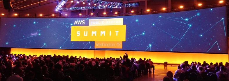
I attended the AWS Public Sector Summit in Washington, DC this week. I usually do not attend so many conferences. This should be my last one for a while. I just happen to live nearby so I didn’t want to pass on the opportunity to learn more about AWS.
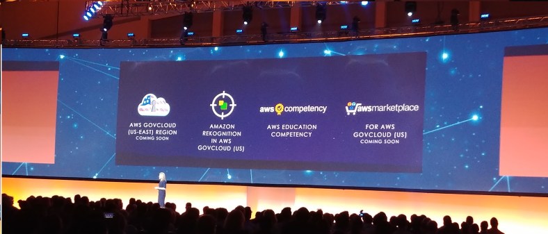
The keynotes were not really what a typical keynote address is at a conference. They were only a few minutes of announcements and then a few customer stories each day. The biggest announcement was GovCloud East is coming in 2018. Though, a more specific time frame would have been better received.
There were a lot of break sessions to choose from. There was a session on VMware Cloud on AWS. I don’t think there was any big news and sadly still no date for GA. Here’s a few things I got out of the session. Customers will purchase this service from VMware. AWS services will be billed separate from VMware by Amazon. All AWS services can be accessed from a customer’s VMware cluster, which will be hosted at a AWS data center. ESXi will boot from a EBS volume and no root access to the host for customers. The underlying storage for the VMs will be vSAN, which is a minimum of 4 hosts. Elastic DRS will be able to bring up a new host fast. I think within minutes. However, removing a host will take more time as data needs to be moved from the disks on the host.
I attended a fascinating session hosted by Kevin Murphy, Program Executive Earth Science Data Systems at NASA. He talked about and showed some of the projects NASA has been working on and how they leverage AWS. Some of NASA’s projects pull in petabytes of data ever day from satellites. The data is available for free for every person and company in the world. Kevin demonstrated one of his projects called Worldview, which I provided a description below. I highly recommend everyone to check it out. You can add an assortment of layers with various information, such as all major fires around the world and by date.
This tool from NASA’s EOSDIS provides the capability to interactively browse global, full-resolution satellite imagery and then download the underlying data. Most of the 150+ available products are updated within three hours of observation, essentially showing the entire Earth as it looks “right now”. This supports time-critical application areas such as wildfire management, air quality measurements, and flood monitoring. Arctic and Antarctic views of several products are also available for a “full globe” perspective. Browsing on tablet and smartphone devices is generally supported for mobile access to the imagery.
I’m sure Amazon will be looking to expand the event next year. I heard the attendance was at least 7,500 before Tuesday afternoon, which seemed to catch Amazon by surprise. Despite the crowds, I had a good time and learned a lot during my two days at the event .
